 We’ve spent the last few days in the central provinces of Vietnam, one of the most beautiful but poorest areas of the country, which consist of a narrow strip of a sandy coastline caught between the South China Sea and the Troung Son mountains, which form Vietnam’s border with Laos.
From Hanoi we travelled south on the overnight Reunification Express to Hoi An, the prettiest town we’ve visited in Vietnam. Hoi An, which was then situated at the mouth of the Thu Bon River, developed as a prosperous trading port in the 1600s with quarters dominated by Chinese, Japanese and European merchants. In the late eighteenth century however silt began to clog up the river leaving Hoi An stranded a few miles in land and the town went into decline as trade moved elsewhere.
The decline in trade meant that many of Hoi An’s older buildings were preserved, and then luckily escaped major damage in the French and American Wars, leaving a largely pedestrianised old town and riverfront that retains an antiquated charm and was a wonderful place to spend a few days. The old town streets are an appealing mix of original wooden merchant houses, French colonial buildings, and Chinese assembly halls. Many of the buildings now house a myriad of tailoring and shoe making shops, restaurants and street food stalls selling traditional Vietnamese noodle soup and bia hoi (the fresh beer which was even cheaper here than Hanoi at only 10p a glass!), all of which we collectively made the most of.

Many of the waterfront merchant houses in the town have been restored and were fascinating to wander around. Typically as narrow as only 10 foot wide but up to 150 foot deep (a style which is still evident in many modern Vietnamese buildings), these long thin buildings provided a family home, a shop space at the front, a small outside courtyard in the centre and direct access to the river at the back so merchandise could be hauled upstairs safe above the annual floods that still blight the town. As recently as November 2010 the three streets closest to the river were submerged and we saw several buildings still evidently flood damaged, and even now in the dry season the river still over ran its banks most evenings. Our concerns for the future of this pretty town – and for Vietnam as a whole – were reinforced when we learnt that a 2007 report for the World Bank had concluded that Vietnam will be one of the five countries worst affected by rising sea level, with any rise over a metre “potentially catastrophic,” flooding over 5% of the country, including some of the most populated and economically useful areas, directly affecting over 6 million people.

Forty kilometres outside Hoi An, in an isolated rural setting, are the ruined Hindu temples of My Son, the religious and spiritual centre of the Champa Kingdom which covered much of central Vietnam from the 4th to 11th Century AD. We arrived early in the morning to miss the tour groups and spent a fascinating few hours alone wandering around the temples. Many are relatively well preserved and you can easily climb into their chimney like interiors. The external walls have elaborate carvings of the Hindu god Shiva, elephants, monkeys and coconut trees intertwined with real tree roots and vegetation. Sadly, although sections of the temple complex are well preserved, a number of temples were bombed by the Americans during their carpet bomb campaign which affected much of central and northern Vietnam, leaving only piles of crumbling bricks.
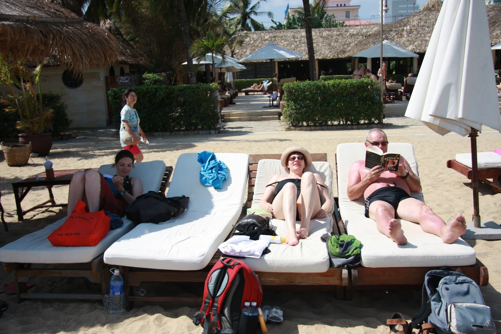
After spending a couple of afternoons on the quiet Cui Da beach outside Hoi An, we moved on to Nha Trang, the beach capital of Vietnam. After a cramped and uncomfortable overnight bus journey we felt in definite need of some rest and relaxation and thankfully luck was on our side, and we spent a very pleasant three days enjoying lots of sun from the loungers at a luxurious beach club with its own micro brewery.

No comments:
Post a Comment